TAAT – Victoria
Victoria, located in the southeastern part of Australia, offers a variety of scenic routes for motorcycle adventurers.
This edition of the TAAT takes you through some of the most diverse landscapes Australia has to offer, from the desert dunes of Little and Big Desert in the West to the High country peaks and tracks to the East.
SECTIONS: 1.Renmark | 2.Rocket Lake | 3.Murrayville | 4.Horsham | 5.Buangor | 6.Blackwood | 7.Black Spur | 8.Craigs Hut | 9.Dargo | 10.Omeo
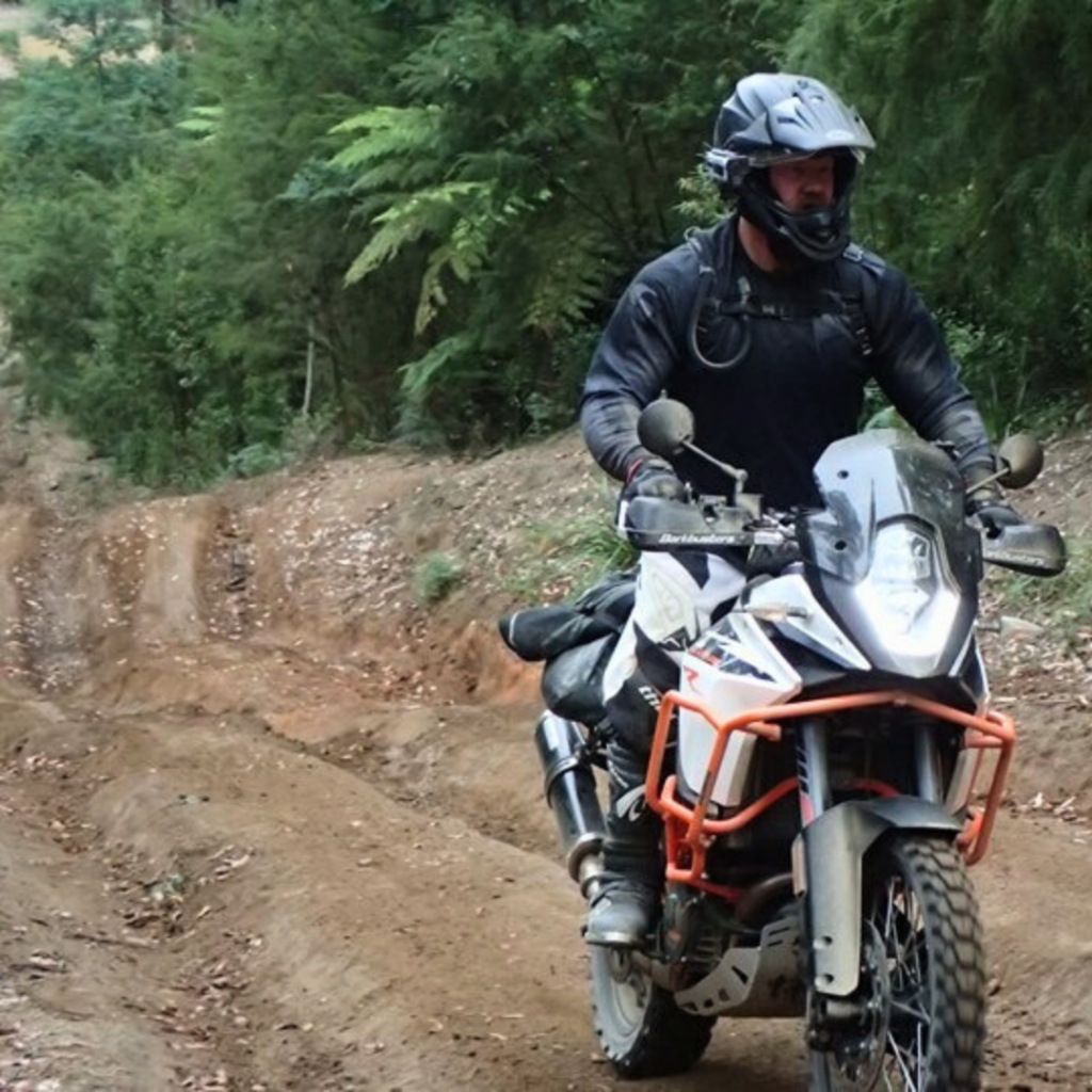
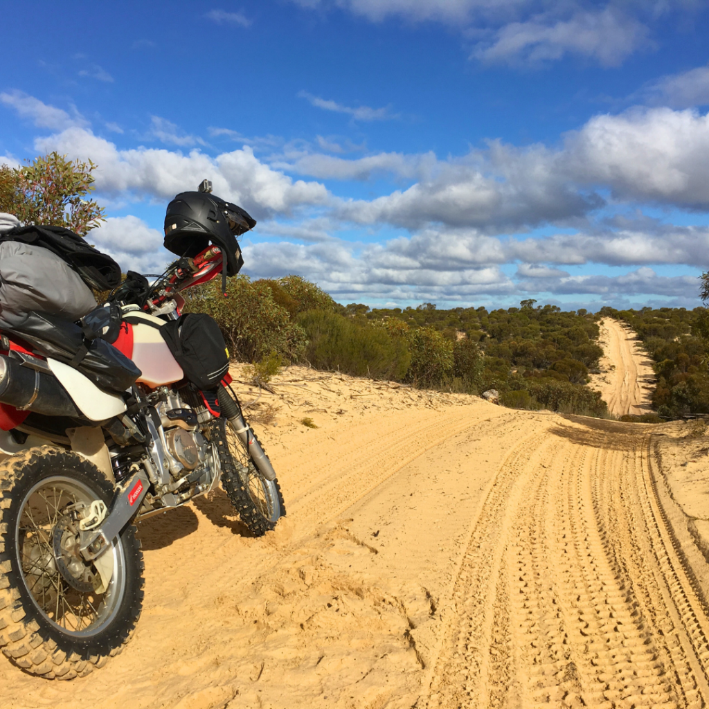
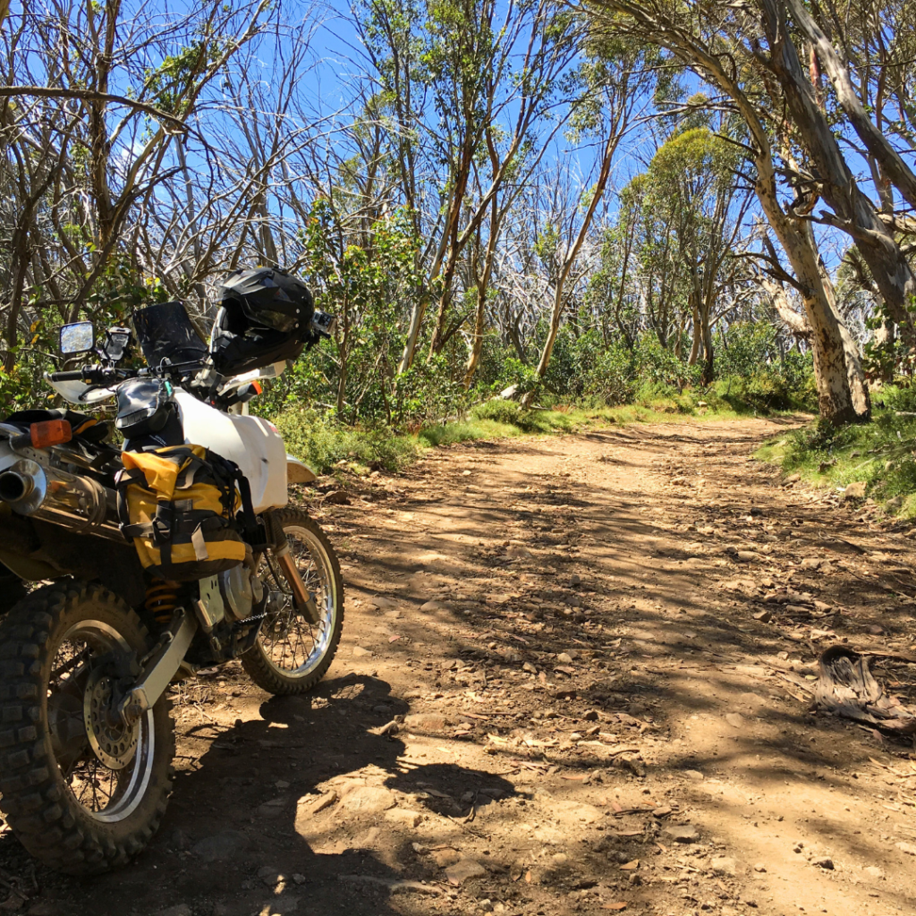
The scenery is enjoyable, relaxing in some parts and challenging in others, but unforgettable all the way. With a total distance of 1,649 kms, take it in sections or try a complete run in a multi day adventure and add this part of TAAT to your list of achievements.
Important information & points about Victorian TAAT trail
- Total Lenght: 1,649 kms of which less than 100kms is tared roads.
- Types of Terrain: Just about everything!
- Sections: There are 10 sections and they are listed below.
- Each section has its own details!
FOR EMERGENCIES IN AUSTRALIA DIAL 000
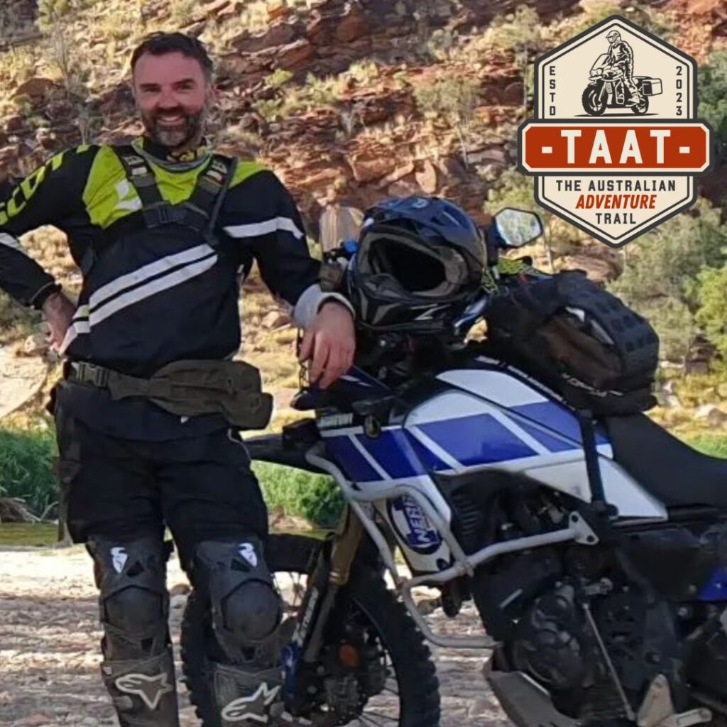
Your Ambassador – Victoria
Brendon Clark
Bike: Yamaha T700
Brendon has been a keen motorcyclist for over 35 years with a passion for travel and the outdoors. He bought his first adventure bike in 2013 after realising 59% of Australia’s roads are dirt and has spent the last 10 years exploring them on two wheels. He says Victoria’s high country has the best adventure riding in the country but has a secret love for the outback deserts.
| VIC Section 1 – Renmark to Rocket Lake |
- Total Lenght: 181 kms
- Types of Terrain: Light Sand, Dirt, Small Scatterd Rock. Easy flowing tracks
- Note: Once you enter Murray Sunset NP, there is no Water,Fuel or Food. The only things out there is Campsites with drop toilets.
- Fuel: NO FUEL Available!
- Accommodation: Campsites only, Shearer’s Quater and Rocket Lake are nice.
For me Murray Sunset NP is the best of the 3 deserts available in Victoria. It’s a desert in a bush setting with undulating and flowing tracks. The scenery changes from close bush to small open plains. The sand sections never last long and you always get a breather in between them. Note that there is a 40km Tar road liaison from Renmark to the Murray Sunset NP turn off.
When doing this section you must take into account Section 2 (see below).
To bypass Section 2 and the deep sand or to get supplies (food, water & fuel) you can take the Nowingi Line Track (easy track) east which will take you to the Calder H/way and the Hatta Outback Roadhouse (60kms). Then head to Ouyen (35kms) and on to Murrayville (100kms).
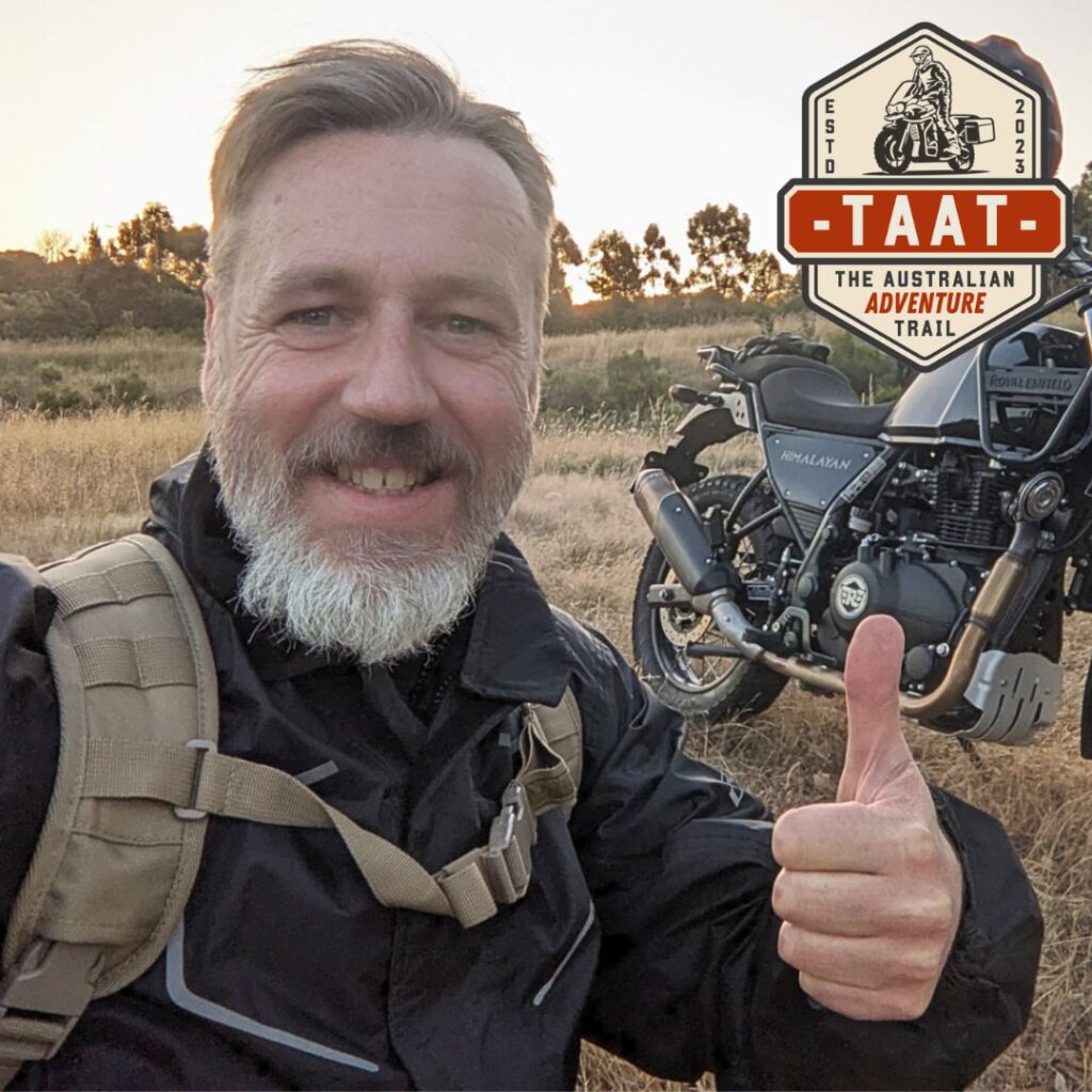
Your Linesman – Section 1
Mark Victor
Bike: Suzuki DR650
Mark got back into riding motorcycles 15 years ago and has’nt looked back since. Mark has a passion for sharing his experiences and creating a community around Adventure Motorcycling. Check out his Website & YouTube channel.
| VIC Section 2 – Rocket Lake to Murrayville |
- Total Lenght: 145 kms
- Types of Terrain: Light Sand, Medium Sand, Deep Sand, Dirt, Small Scatterd Rock, Gravel Road. Nice flowing tracks
- Note: The first lot of Deep Sand is about 15kms long, after that you get a few more but are no longer than 3kms long each.
- Fuel: Murrayville 24hr selfserve (currently not active, it’s brand new). You will have to liasion to Pinnaroo 27kms to the QTR Service Station.
- Accommodation: Campsites alone track and Murrayville Hotel or Caravan Park.
This section of the Murray Sunset NP is more challenging only due to the deep sand sections as described above. It’s beautiful country out there and you will get to see the awesome salt lakes, why not take a walk out on them to snap a photo! There is a Gravel road liasion of 11kms and then a further 50kms of Tar road to Murrayville.

Your Linesman – Section 2
Mark Victor
Bike: Suzuki DR650
Mark got back into riding motorcycles 15 years ago and has’nt looked back since. Mark has a passion for sharing his experiences and creating a community around Adventure Motorcycling. Check out his Website & YouTube channel.
| VIC Section 3 – Murrayville to Horsham |
- Total Lenght: 265 kms
- Types of Terrain: Light, medium and deep sand, large sand dunes, patches of bull dust, winding river tracks, sealed and unsealed country roads.
- Note: Section includes a challenging 70 km track consisting of deep sand and tall dunes, not for the inexperienced. This track can be bypassed by going direct from Murrayville to Nhill, then across to Dimboola to pick up the TAAT again.
- Fuel: Just over the SA border at Pinnaroo, then on the trail at Rainbow, Dimboola and Horsham.
- Accommodation: Multiple campsites along the trail in Big Desert / Wyperfeld National Park, and at Lake Albacutya. Caravan park and motel accommodation is available in Dimboola and Horsham.
This section features a unique landscape including flat, shrubbed desert plains, large imposing dunes, and the Wimmera River cutting through the dry, sandy terrain.
For the more adventurous, this section includes a challenging 70 km track highlighting some of Victoria’s best and most isolated desert terrain and scenery. Most who complete this section will see their fitness, skills and bikes tested. As such, it is highly recommended that only well prepared and experienced sand riders undertake this challenging track.
For those not interested in the challenging terrain, a simple bypass is achieved by traveling from Murrayville to Nhill via the Murrayville-Nhill Road, and then on to Dimbool via the Western Highway to get back onto the TAAT.
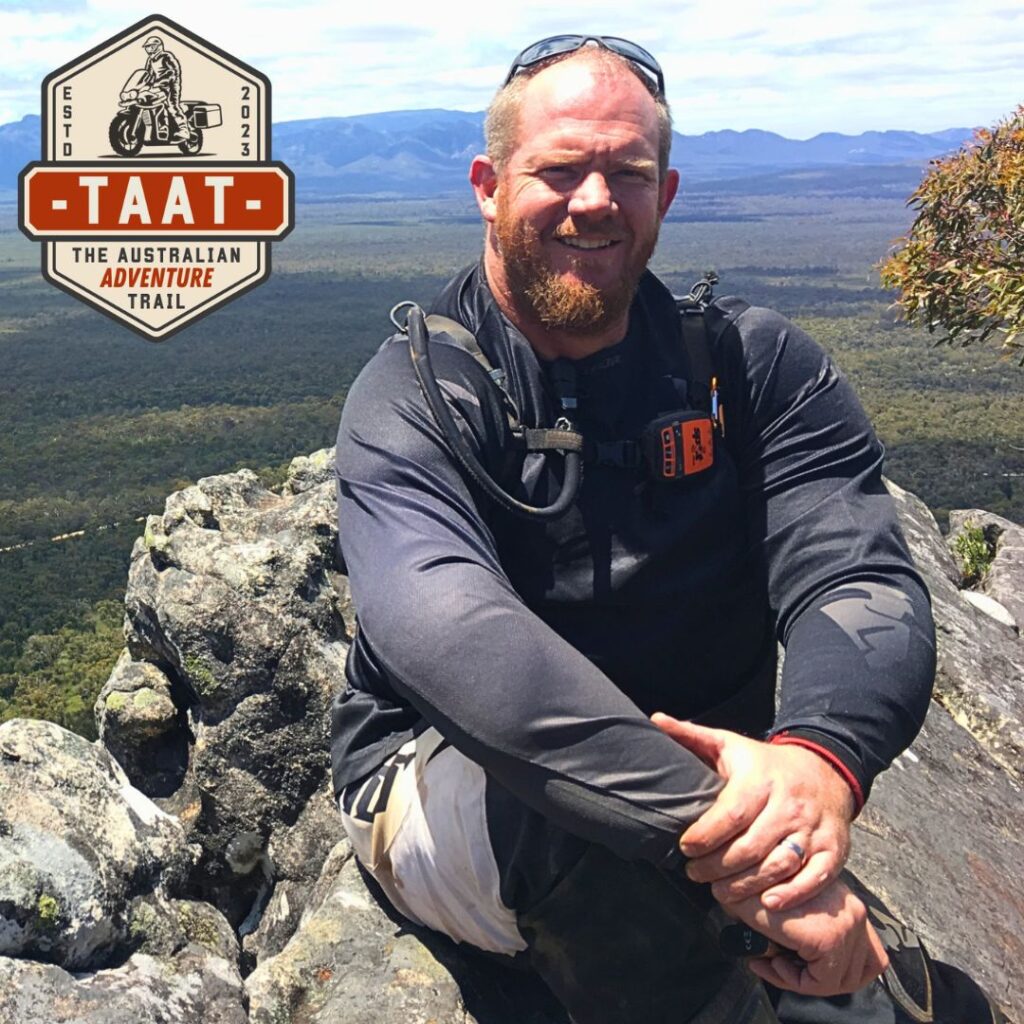
Your Linesman – Section 3
Alastair Hyde (Angus)
Bike: GASGAS 700
At 16 Angus was given a box full of postie bike parts. With a bit of help those parts became a less than reliable, but functional motorcycle, and he never looked back. A passion for road riding soon moved towards the dirt, with his first adventure at 21 on a 90s Tenere exploring Far North Queensland. Many adventures later Angus is still a passionate ADV rider with a love for the Australian Outback.
| VIC Section 4 – Horsham to Buangor |
- Total Lenght: 308 kms
- Types of Terrain: Flowing and slippery gravel roads, rutted, muddy in sections even on dry days, very few steep sections, some sandy sections that can be quite challenging if on a big bike or inexperienced.
- Note: Tracks may be seasonally closed during winter.
- Fuel: Fuel is available at Horsham, Halls Gap and Dunkeld.
- Accommodation: Accommodation is available at Horsham, Halls Gap and several campsites are available in the Grampians National Park, (booking may be required).
This section travels through some of the most interesting rock formations in Victoria, and the beautiful Grampians. Make sure you stop to take in the views and enjoy the lookouts, there is even a “hidden” waterfall that is worth the short trek even with riding boots and full gear on.
Enjoy the contacts with wildlife but make sure to respect it. Don’t be surprised if an Emu decides to come say hello while you are setting up camp or running in front of you while in the track, as if it is showing the way, pay attention though because they might lead you straight to a rut or creek crossing. While Kangaroos and Wombats are present in all of Victoria they are especially dense in number in the Grampians, so extra care is advised. And if you see or happen to injure wildlife make sure to contact the authorities and do whatever you can to minimise suffering.

Your Linesman – Section 4
Alastair Hyde (Angus)
Bike: GASGAS 700
At 16 Angus was given a box full of postie bike parts. With a bit of help those parts became a less than reliable, but functional motorcycle, and he never looked back. A passion for road riding soon moved towards the dirt, with his first adventure at 21 on a 90s Tenere exploring Far North Queensland. Many adventures later Angus is still a passionate ADV rider with a love for the Australian Outback.
| VIC Section 5 – Buangor to Blackwood |
- Total Lenght: 185 kms
- Types of Terrain: Flowing and slippery gravel roads, rutted, muddy in sections even on dry days, very few steep sections.
- Note: Tracks may be seasonally closed during winter.
- Fuel: Fuel is not available at Buangor. The closest Fuel is either Ararat or Beaufort. In the section fuel is available at Hepburn Springs and Daylesford.
- Accommodation: Some accommodation is available at Buangor but your best bet is either Ararat or Beaufort. There are several campsites along the section but a fair distance away from each other careful planning is recommended. Accommodation is also available at Daylesford and Hepburn Springs.
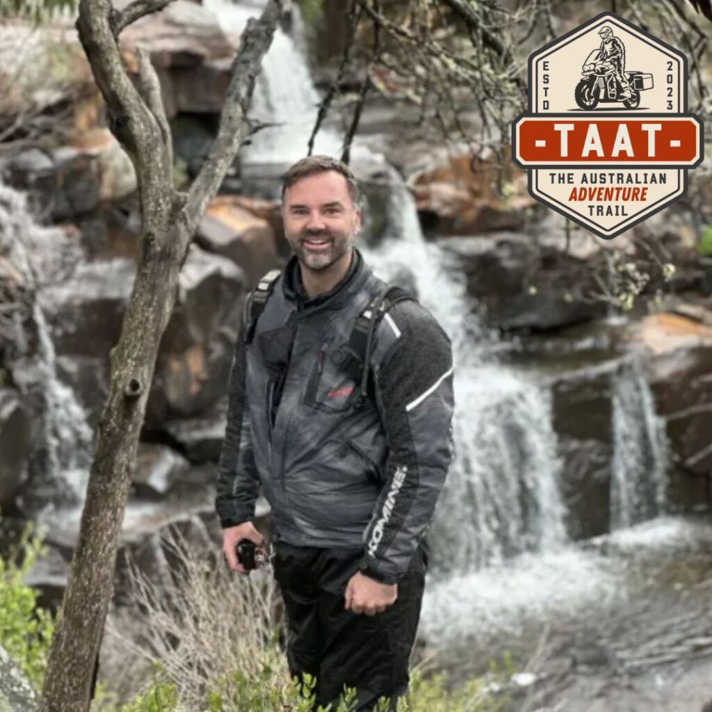
Your Linesman – Section 5
Brendon Clark
Bike: Yamaha T700
Brendon has been a keen motorcyclist for over 35 years with a passion for travel and the outdoors. He bought his first adventure bike in 2013 after realising 59% of Australia’s roads are dirt and has spent the last 10 years exploring them on two wheels. He says Victoria’s high country has the best adventure riding in the country but has a secret love for the outback deserts.
| VIC Section 6 – Blackwood to Black Spur |
- Total Lenght: 218 kms
- Types of Terrain: Flowing and slippery gravel roads, rutted, muddy in sections even on dry days, very few steep sections.
- Note: Tracks may be seasonally closed during winter.
- Fuel: Fuel is available at Blackwood and short distances from the section.
- Accommodation: Accommodation is available at Blackwood and along the sections at several campsites.
Navigating its way along the north of Melbourne this section is characterised by flowing gravel roads and tracks with some sections being a good “intro” to the more challenging TAAT sections. If you find this section challenging some of the other sections are very likely to be VERY challenging. Travelling through farming and cattle stations, it’s important to pay attention to traffic and be extra careful when crossing main roads. It offers stunning views of the sunset when close to Blackwood.

Your Linesman – Section 6
Brendon Clark
Bike: Yamaha T700
Brendon has been a keen motorcyclist for over 35 years with a passion for travel and the outdoors. He bought his first adventure bike in 2013 after realising 59% of Australia’s roads are dirt and has spent the last 10 years exploring them on two wheels. He says Victoria’s high country has the best adventure riding in the country but has a secret love for the outback deserts.
| VIC Section 7 – Black Spur to Craigs Hut |
- Total Lenght: 208 kms
- Types of Terrain: Steep High country tracks, Rutted, muddy and red clay in sections even on dry days.
- Note: Tracks may be seasonally closed during winter.
- Fuel: Fuel is available at Black Spur Caravan park, fuel is also available in Jamieson.
- Accommodation: Accommodation is available at several locations, Healesville, Marysville, Jamieson. There are several campsites along Big River road and also some camping spots at Mt Terrible, Jamieson and along the Howqua river.
Providing the gateway to the High Country the challenging Mount Terrible is just one of the highlights of this section. Taking you through the less travelled path it is a very challenging section in some areas and should not be underestimated. Navigating its way along the Howqua river and passing as close as possible to the summit of Mount Stirling, make sure you stop to take in the views. The Iconic Craigs Hut (actually a movie set) is a must see and highly recommended. From Craigs Hut to Mansfield is about 60 mins of riding time if you wish to top up fuel or stop for the day.
| ⚠️ Current TRACK ALERTS for VIC Section 7 No track alerts received! |

Your Linesman – Section 7
Brendon Clark
Bike: Yamaha T700
Brendon has been a keen motorcyclist for over 35 years with a passion for travel and the outdoors. He bought his first adventure bike in 2013 after realising 59% of Australia’s roads are dirt and has spent the last 10 years exploring them on two wheels. He says Victoria’s high country has the best adventure riding in the country but has a secret love for the outback deserts.
| VIC Section 8 – Craigs Hut to Dargo |
- Total Lenght: 226 kms
- Types of Terrain: Steep High country tracks, Rutted, muddy and red clay in sections even on dry days.
- Note: Tracks may be seasonally closed during winter.
- Fuel: Fuel is available at Mansfield if you are running low. Make sure you are topped up before entering this section. Fuel is also available at Licola if you need it when you are in the section.
- Accommodation: Accommodation is available at Mansfield and also Mount Buller, weather permitting camping is also available close to the Iconic Craigs Hut, and several other campsites are available along the section.
This is one long winding section with some of the steepest and most challenging tracks of the High Country, including the Billy Goats. It is a very challenging track even when done in the downhill direction. If you are not comfortable with your skill do not attempt it.
If you have a big ADV motorcycle think twice. The views from the top are quite remarkable and a photo opportunity to add to your favourite mototravel photo collection. The Howitt plains road is a very scenic plateau and offers some stunning views of the high country at about 1600m elevation.
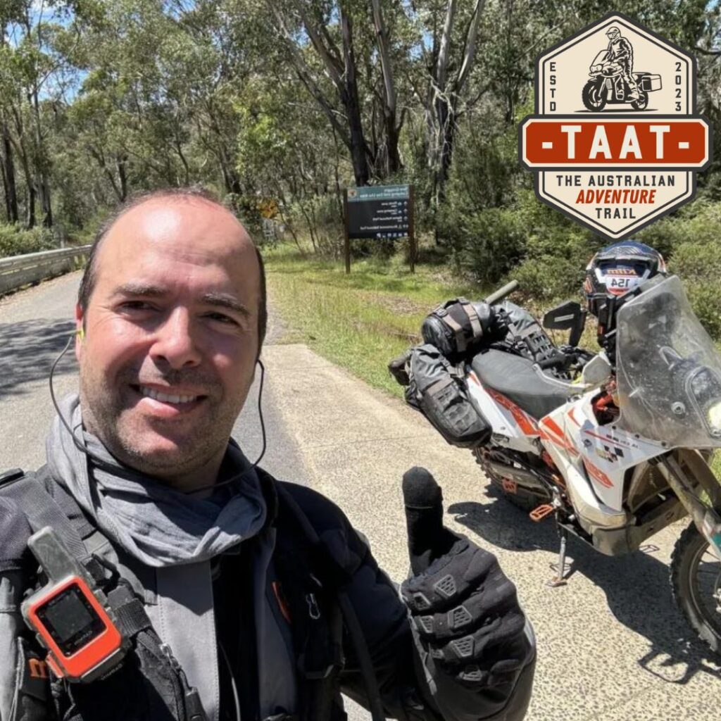
Your Linesman – Section 8
Joao Almeida (Joni)
Bike: KTM 690
Joni, started his Adventures around 2004, being Portuguese there’s an instinctive need to discover and adventure through new places. While in Portugal he explored until he ran out of country to ride. He then moved to New Zealand and again when he ran out of country, he moved to Australia where he is slowly starting to appreciate the vastness of this continent. As a keen long distance adventure/rally rider this is the perfect playground for him. He has riden in Portugal, Spain, Morocco, Mongolia, New Zealand and Australia. He is a very lucky bastard!
| VIC Section 9 – Dargo to Omeo |
- Total Lenght: 209 kms
- Types of Terrain: Steep High country tracks, Rutted, muddy and red clay in sections even on dry days.
- Note: Tracks may be seasonally closed during winter.
- Fuel: Fuel is available at Dargo although only during business hours, plan ahead.
- Accommodation: Several campsites along the section and other accommodation can be found in Dargo. Don’t miss the Iconic Dargo Hotel, and the detour to the summit of Blue Rag Range is a MUST, especially in good weather conditions.
Featuring the iconic Blue Rag Range and Blue Rag Range Track, this section has some of the best views in the high country. The tracks are mostly compacted dirt with some challenging inclines at times. There is a short river crossing that should be assessed before attempting.
This section crosses private land and therefore extra attention should be kept for cattle. Gates need to be closed at all times. Pay special attention to two way traffic as the Blue Range is a popular destination for 4×4 and other adventure riders.

Your Linesman – Section 9
Joao Almeida (Joni)
Bike: KTM 690
Joni, started his Adventures around 2004, being Portuguese there’s an instinctive need to discover and adventure through new places. While in Portugal he explored until he ran out of country to ride. He then moved to New Zealand and again when he ran out of country, he moved to Australia where he is slowly starting to appreciate the vastness of this continent. As a keen long distance adventure/rally rider this is the perfect playground for him. He has riden in Portugal, Spain, Morocco, Mongolia, New Zealand and Australia. He is a very lucky bastard!
| VIC Section 10 – Omeo to Tom Groggins |
- Total Lenght: 135 kms
- Types of Terrain: Steep High country tracks, Rutted, muddy in sections even on dry days.
- Note: Tracks may be seasonally closed during winter.
- Fuel: Fuel is available at Omeo there are 2 petrol stations.
- Accommodation: Several campsites can be found along this section including at Tom Groggin, other accommodation can be found at Omeo.
Between Omeo and Benambra this section is characterised by rolling farm hills and pleasant cruising dirt roads with a small (10km) tarmac main road connection to Omeo. Most of the section is gentle terrain with a loose surface that winds around the mountain side, some tracks might have overgrown vegetation and hidden features that might catch you off guard
Between Tom Groggins and Mount Pinnibar the track is quite steep and very rutted, some ruts are quite deep which make the line selection very important and tricky. This is a particularly challenging section especially on bigger adventure bikes.
The Murray River crossing near the Tom Groggin campsite can be very deep, you should walk it and be extremely careful, the bottom has some big boulders that can throw you off balance and the current can be quite strong, especially after heavy rain, if in doubt walk your bike across or do not attempt it at all.

Your Linesman – Section 10
Joao Almeida (Joni)
Bike: KTM 690
Joni, started his Adventures around 2004, being Portuguese there’s an instinctive need to discover and adventure through new places. While in Portugal he explored until he ran out of country to ride. He then moved to New Zealand and again when he ran out of country, he moved to Australia where he is slowly starting to appreciate the vastness of this continent. As a keen long distance adventure/rally rider this is the perfect playground for him. He has riden in Portugal, Spain, Morocco, Mongolia, New Zealand and Australia. He is a very lucky bastard!
